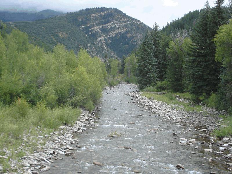
North Gunnison River Information
| Wetland Category: |
|
Open Water |
| NWI Classification: |
|
R3UB1H |
| Latitude: |
38.954345 |
|
Longitude: |
-107.271323 |
Image Data |
| Date: |
|
08/14/2014 |
| Direction: |
East |
| State: |
Colorado |
| Country: |
USA |
| Location: |
Gunnison County Rd 12 crossing the North Gunnison River |
| Author(s): |
Larry Handley |
| Affiliation: |
Scientist |
|
| 
08/14/2014 | | |
|
|
Description:
Upper Perennial Riverine stream with permanent flow covering a portion of the Unconsolidated Bottom of cobble-gravel.
|
Conditions: Low summer flow in stream.
|
|
|
Disturbances: |
|
Comments: |