Wallops Island Information
| Wetland Category: | Flats & Beaches | |
| NWI Classification: | E2EM1N |
| Latitude: | 37.935762 | Longitude: | -75.412238 |
Image Data |
||
| Date: | 08/09/2012 | |
| Direction: | North West | |
| State: | Virginia | |
| Country: | USA | |
| Location: | Wallops Island | |
| Author(s): | Nathan Handley | |
| Affiliation: | Individual | |
|
|  08/31/2008 | 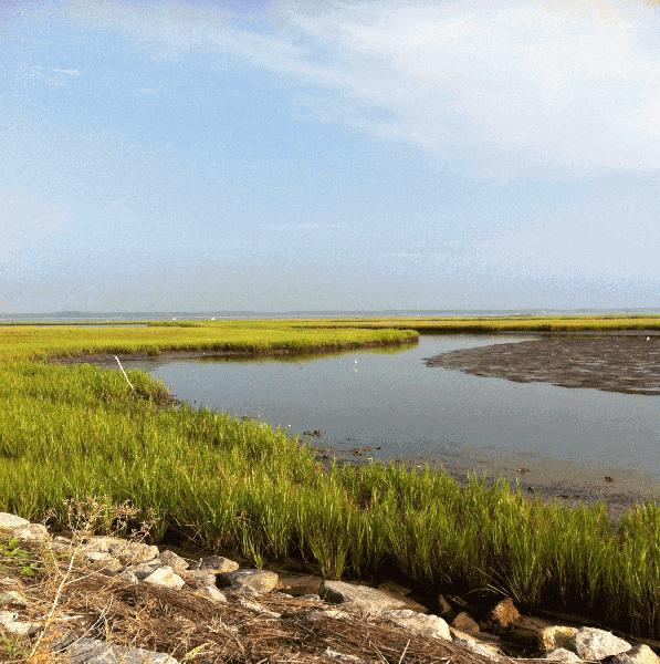 08/09/2012 |  08/08/2012 | 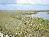 09/19/2014 | 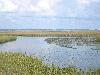 09/19/2014 |
|
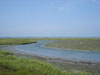
Description:
Estuarine intertidal herbaceous emergent Salt Marsh. The Salt Marsh is considered persistent from year-to-year and is regularly flooded by the tide. Water is present in adjacent channel. |
||||||||
|
Conditions: Tide is low. Mudflats are exposed on the low tide. |
||||||||
|
||||||||
| Disturbances: | ||||||||
| Comments: | ||||||||